
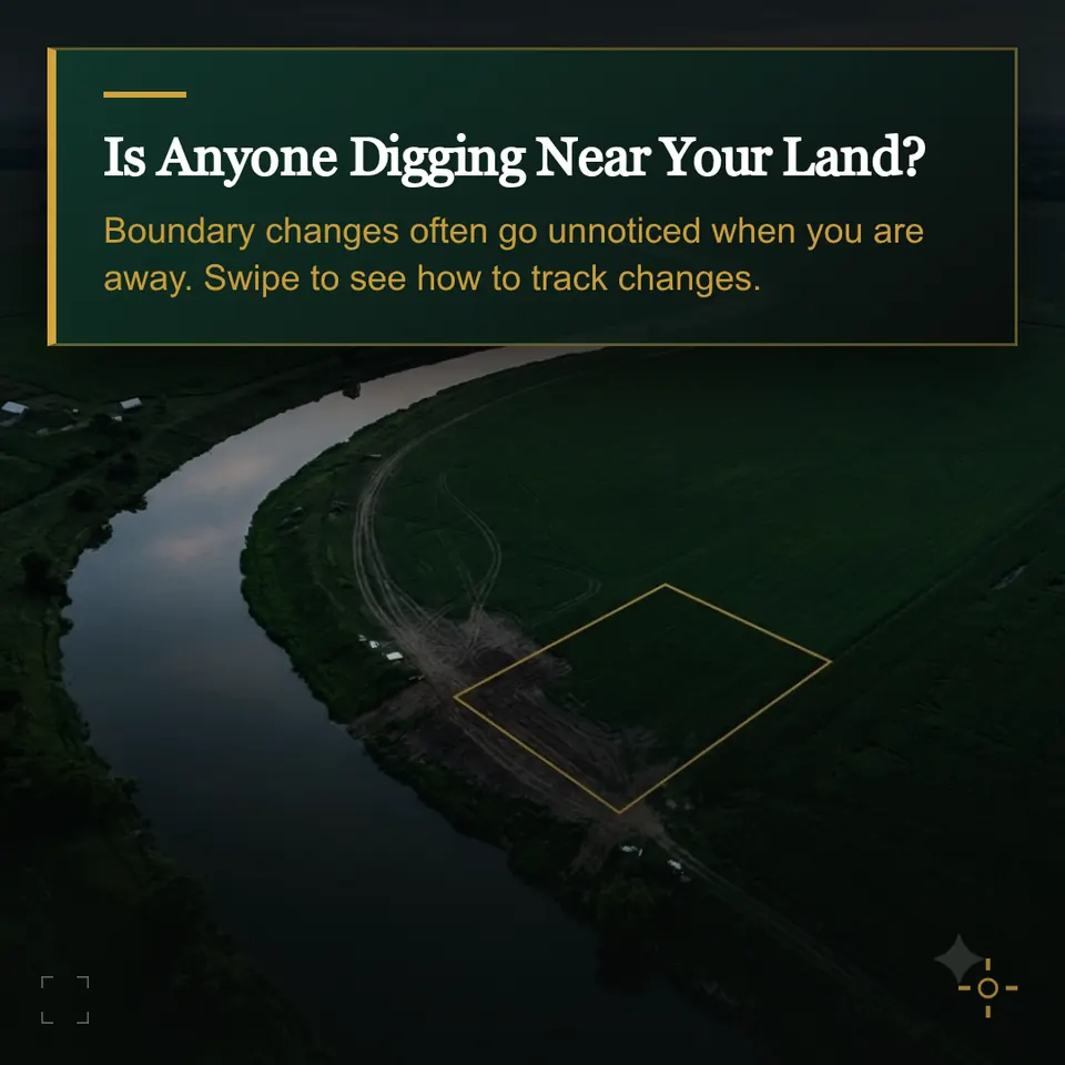
Would you know if someone started digging near your boundary?
A guide for owners of riverbank land. Learn what changes to look for and how to keep a dated baseline.
Visual monitoring is in preparation. Enrolment is closed.
Keep a dated baseline
Save a clear image that shows the plot and nearby riverbank. Note the image date and source, and mark the verified plot boundary.
Compare the same area over time
Look for fresh excavation, new vehicle tracks or changes to the bank. Compare images taken in similar conditions where possible. Water level, shadows and image clarity can affect what you see.
What ZameenWatch plans to offer
When usable imagery is available, a dated comparison would mark visible changes relative to your plot boundary so you know what to verify locally.
Ask about coverage for your village
Put the checklist to work
Try the free self-check →ZameenWatch is an independent project, not a government portal. This is guided manual comparison, not automatic government retrieval, proof of title, a boundary survey or legal advice. Customer registration, payments and recurring monitoring remain closed.